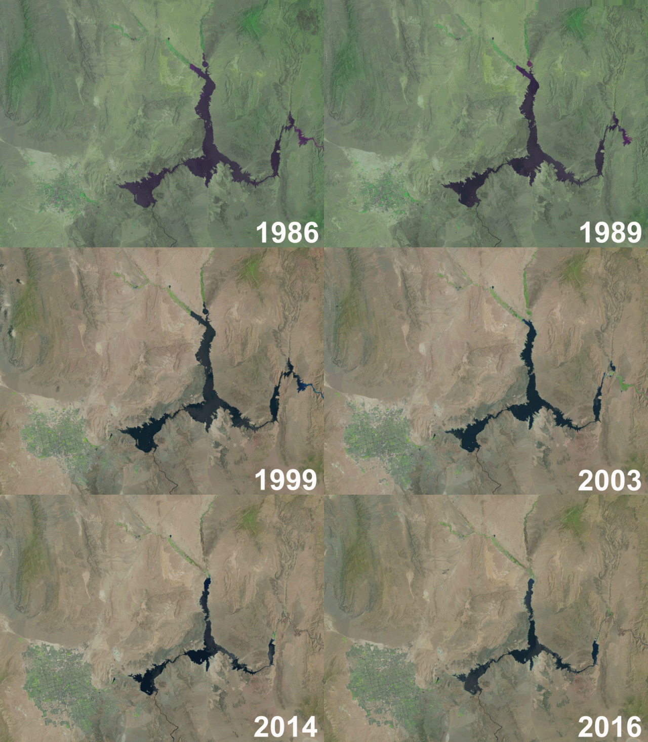
Lake Mead, the largest reservoir in the United States, has just hit a record low. At 1,074.6 feet above sea level, it is 146 feet lower than it was in 1983, the year the reservoir was at its highest. Take a look at the animation below to see how the lake has shrunk since 1986.

Images provided by Landsat
The last lowest level was recorded just a year ago, in 2015. And the problem is most probably going to get worse, as climate change unfolds. The chart below, courtesy of Dean Farrell, shows the decline in Lake Mead’s volume, which is now at only 37.5% of its full capacity.
Key facts about Lake Mead
- Formed by the Hoover Dam on the Colorado River, Lake Mead supplies water for 25 million people in Nevada, California, and Arizona
- It has a surface area of 247 square miles (640 square kilometers)
- The lake hasn’t reached full capacity since 1983
- At full capacity, it has a maximum depth of 532 feet (162 meters)
- The lake was named after Elwood Mead, a professor, politician and engineer who headed the United States Bureau of Reclamation from 1924 until 1936
The following two tabs change content below.


Catalin
Catalin Trif is a nature enthusiast, blogger, and tech enthusiast. He is also addicted to travel and his guitar.


